- Daniele Cirillo - Università degli Studi "G. d'Annunzio" Chieti-Pescara
- Chiara D'Ambrogi - Dip. Servizio Geologico d'Italia - ISPRA
- Stefano Tavani - Università degli Studi di Napoli Federico II
- Angelo Cipriani - Dip. Servizio Geologico d'Italia - ISPRA
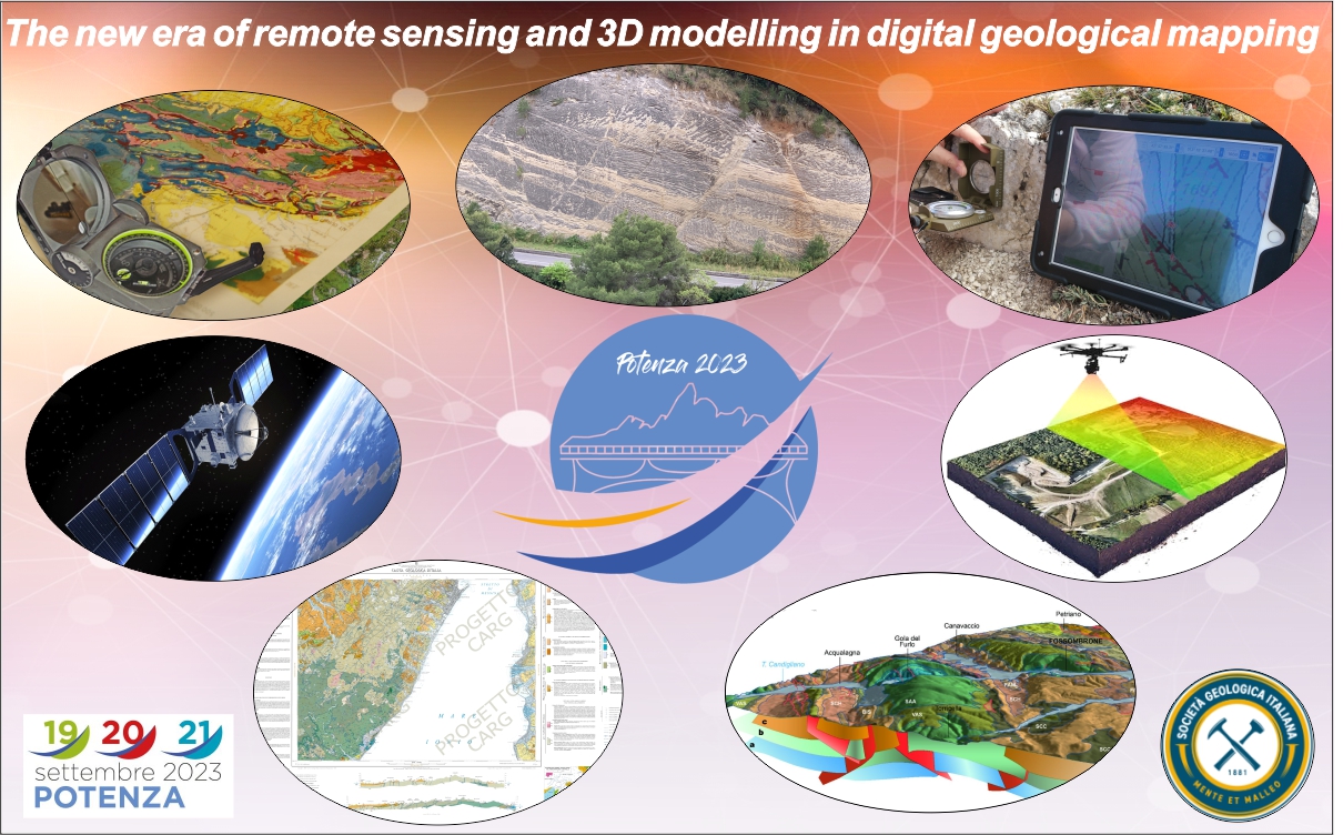
The widespread diffusion of electronic devices using GNSS, magnetometer, accelerometer and high-definition cameras, including smartphones, tablets and UAVs, coincides with a growing modernization of geosciences. These easily-accessible technologies can act as hand-compass, notebook and mapping device, offer the possibility to take HD pictures, and can be equipped with GIS software. The acquisition of images by drones allows for obtaining photogrammetric models of (often inaccessible) outcrops.
Consequently, the traditional geological field survey and mapping methods move to digital ones carried out using technological devices and dedicated apps, with significant advantages in time and data organization. Their use is growing significantly even in the Italian geological mapping project 1:50,000 scale (CARG Project).
The session focuses on research where multidisciplinary approaches and modern techniques of data collection and analysis allow for a better and more quantitative characterization of geological architecture and tectonic structures.
In addition, the contributions may focus on new tools for elaborating and constructing 3D geological models starting from field data, cross-sections, and geological maps.
This session aims to collect contributions from researchers in several areas, such as geomatics, remote sensing, photogrammetry, field mapping, GIS, data processing, 3D modeling, and applications for topics related to Stratigraphy, Sedimentology, Structural Geology, Geomorphology, Volcanology.
Geomodelling, Digital Photogrammetry, Digital Field Mapping, Geology, Structural Geology