- Alessandro La Rosa - Università di Pisa
- Andrea Barone CNR - IREA, Napoli
- Simona Miccolis - Istituto Nazionale di Geofisica e Vulcanologia, L'Aquila
- Diana Orlandi - Università di Pisa
alessandro.larosa@dst.unipi.it
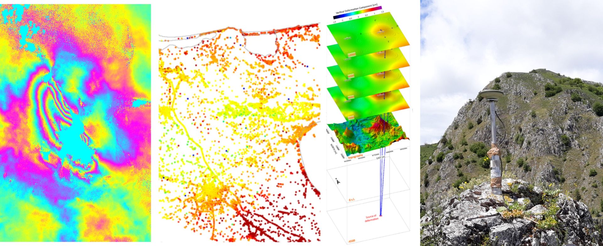
The Earth's surface is constantly shaped by geological and anthropogenic processes acting at various spatial and temporal scales. Earthquakes, volcanic eruptions and urban subsidence are just a few examples of spectacular, but potentially life-threatening surface deformation processes. Nowadays, advanced geodetic techniques, e.g., InSAR and GNSS, combined with field observations and modern modeling techniques are established powerful tools for the understanding and monitoring of these phenomena as also the future mitigation of their effects. Furthermore, the development of modern satellite-based sensors is providing an increasingly large amount of measurements with high accuracy and dense spatial and temporal resolution. This session seeks the most recent geodesy applications for active tectonics studies, volcanology, but also hydrogeology and anthropogenic processes, including mining and urban subsidence due to groundwater and geothermal exploitation, karst processes (e.g., sinkholes). We encourage contributions favoring a multi-disciplinary approach that combines InSAR and GNSS with other remote sensing and field techniques to provide multi-scale insights into the investigated phenomena. We also promote case studies focused on the advancements of data modeling techniques for the analysis of deformation processes (e.g., inverse methods, finite elements models and machine learning approaches). Contributions from early-career scientists are particularly encouraged and welcome.
geodesy, remote sensing, surface deformation, modeling